Target: the Liebermann safe house
Press mouse on pictures to get
even bigger ones.

This is the satellite
view of the park "frontcountry" and the "Gatlinburg of the north"
strip mall development that (dis)graces the area outside the
Park.
"C" is north and the scale's there too - Fairbanks is up, if you
hadn't realized.
That's the Parks Highway in red and the Denali Park road in
purple...

Now here's the
satellite view of the neighbourhood.
The house is marked with the target... Easiest route is marked in
light green, assuming you're arriving from the Parks Highway;
just cut the engine (or stop pedaling) after turning on the first
south past the bridge and coast as far down as possible on the
drive and you're there...
It's the last house - I live at the bottom!
If you're coming in from above...

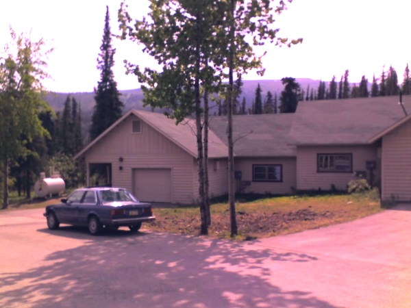
And this is a weird
photo of the house itself, taken with my telephone(!). Remind me
not to ring anybody up on my camera.
The door can be seen behind the car there. That's a big tank of
something flammable they keep out front. The doorbell works.
It's really not necessary to get the bigger picture here, since
it's such horrid quality. If you pass this house you get into a
little gravel parking lot after about 10 meters and cannot
possibly get lost from there. If you do, just go to the nearest
house (mine) and ask directions on how to get to where you
are.
Robert
J. Liebermann
House 252a (not marked)
Denali National Park Headquarters
Mile 3.2 Denali Park Road
Mile 237 Parks Highway
Between Healy and Cantwell, Alaska
phone-office: [___] ___ ___
phone-mobile: [___] ___ ____
email: see here
Modified on June 14
2006


